

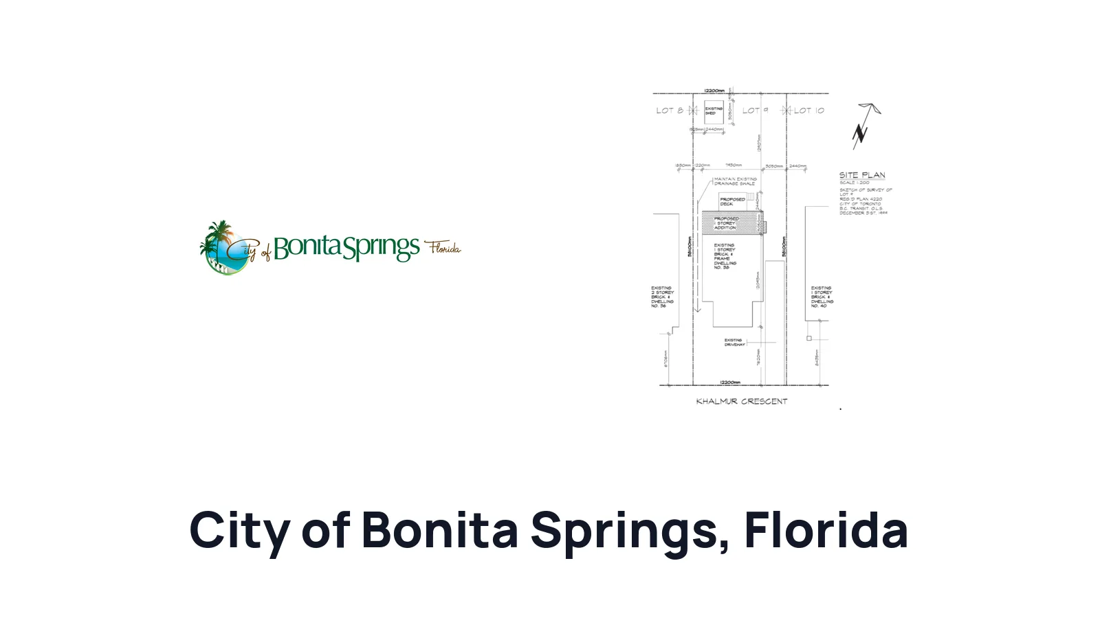
How to Draw a Site Plan for a Residential Building Permit in City of Bonita Springs

Ilya Tkachov
Updated
If you are applying for a residential building permit in City of Bonita Springs, the site plan is not just a sketch of where the project goes. For additions, alterations, accessory buildings, and detached garages, City of Bonita Springs asks for a plot/site plan drawn to scale, with a scale legend and north arrow, plus the lot, buildings, driveways, easements, drainage, finished floor elevation, and other site details needed for review.
This guide explains how to draw a site plan for a residential building permit in City of Bonita Springs, what to include for common homeowner projects, and how to use a scaled drawing or survey copy without overcomplicating the permit package.
What is a site plan?
Site plan definition
A site plan is a top-down drawing of your property. It shows the lot lines, existing buildings, streets or drives, proposed work, and the measurements that explain where everything is located.
For a homeowner, the easiest way to think about it is this: a site plan for property shows what is already on the lot and what you want to add or change. A site plan for a residential building permit helps City of Bonita Springs check whether the proposed work fits on the property, respects setbacks, avoids easements, and accounts for drainage, access, utilities, flood-related elevation requirements, and other site constraints.
For City of Bonita Springs additions, alterations, accessory buildings, and detached garages, the drawing should be scaled at 1/8 inch equals 1 foot minimum, include the north arrow, and match the rest of the permit drawings.
Common site plan terminology
| Term | Plain-English meaning | Example |
|---|---|---|
| Setbacks | The distances from the closest point of a building, addition, or proposed structure to the closest property line. City of Bonita Springs asks for setbacks from the four lot lines and other existing structures. |  Setback example Setback example |
| Existing buildings and structures | Things already on the property, such as the house, driveway, garage, accessory building, pool equipment, AC equipment, well, septic tank, drain field, or LP gas tank. |  Existing structures example Existing structures example |
| Proposed buildings and structures | New work you want approved, such as an addition, alteration, accessory building, detached garage, driveway, sign structure, or related site improvement. |  Proposed structures example Proposed structures example |
| Dimensions | Measurements written directly on the drawing, including lot width and length, building sizes, proposed work dimensions, and setback distances. |  Site plan dimensions example Site plan dimensions example |
| Lot lines or property lines | The legal edges of your lot. City of Bonita Springs asks for all four lot corners, lot lines, and dimensions. |  Property line example Property line example |
| Easement | A part of the property where another party may have access or use rights. City of Bonita Springs asks for all easements and notes that rooflines may not encroach into or over easements. |  Easement example Easement example |
| Drainage plan | Site grading and runoff information showing how water drains. City of Bonita Springs asks for drainage/stormwater runoff requirements and, when outside an approved development, high points, low points, and runoff directions. |  Lot grading example Lot grading example |
Do you need a site plan?
You usually need a site plan when your City of Bonita Springs permit changes something outside the house or places a structure on the lot. The local checklist specifically calls for a plot/site plan for additions, alterations, accessory buildings, and detached garages. City of Bonita Springs sign permits also need a site plan showing property lines, easements, streets, proposed structure location, buildings, setbacks, front-lot-line distance, fire protection equipment, driveways, and the visibility triangle.
For residential additions and accessory structures, do not submit a loose sketch when the checklist asks for a scaled plot/site plan. Start with the lot outline, add the existing house and structures, then place the proposed work with dimensions and setbacks.
Create a site plan for free using HomeCat that gets your residential building permit approved in City of Bonita Springs. Get started
Site plan requirements for residential building permits in City of Bonita Springs
For additions, alterations, accessory buildings, and detached garages in City of Bonita Springs, prepare a plot/site plan drawn to scale at 1/8 inch equals 1 foot minimum. Show the scale and north arrow on the drawing.
At minimum, the site plan should include:
- All four lot corners, lot lines, and lot dimensions
- Location and name of streets or drives bordering the lot
- Existing and proposed building sizes
- Driveway location
- All easements on the lot
- Setbacks from the proposed work to the four lot lines and other existing structures
- Roofline and foundation location, with no roofline encroachment into or over easements
- Required finished floor elevation when applicable
- Drainage information, including approved drainage cross-section when tied to a local development order or South Florida Water Management District permit
- High points, low points, and runoff directions when the site is not in an approved development
- Landscape and irrigation layout when required by the permit package
- Well, septic tank, and drain field location when present
- LP gas tank location and size when present
- AC or pool equipment locations, especially where setbacks or easements may be affected
The site plan should also agree with the floor plan. If the structure layout on the site plan does not match the permit drawings, expect review comments.
Additions, alterations, accessory buildings, and detached garages
For these City of Bonita Springs projects, draw the site plan to scale and make the proposed footprint easy to compare against the existing house, lot lines, driveway, easements, and other structures. Show both the roofline and foundation. If a roof overhang crosses into an easement, the drawing may create a review issue even when the foundation appears to fit.
Add setbacks from the closest point of the proposed building or addition to the closest point of each relevant property line. If there is a lake, creek, canal, river, Gulf frontage, or other water body within 25 feet of the project, show the mean high tide line or edge of water and label the type of water body.
Drainage, finished floor elevation, and site constraints
City of Bonita Springs asks whether drainage and stormwater runoff requirements are noted on the drainage plan and whether the finished floor elevation is consistent with the local development order, South Florida Water Management District requirements, and FEMA FIRM requirements.
If the property is in an approved development, use the approved drainage cross-section when required. If it is not in an approved development, show high points, low points, and runoff directions on the site plan so the reviewer can see where water will go after the work is built.
Also show wells, septic tanks, drain fields, LP gas tanks, AC equipment, and pool equipment when those items are on the property or near the work area. These details help reviewers catch conflicts before construction starts.
Sign permit site plans
For a City of Bonita Springs sign permit, the site plan should show all property lines, applicable easements, streets bounding the property, proposed structure location, all buildings on the property, proposed setbacks, and the distance from the front lot line to the leading edge of the proposed structure.
Also show fire protection equipment such as hydrants, driveways, and the visibility triangle. These items matter because a sign location can affect access, sight lines, frontage, and setback review.
(Without Survey) How to draw a scaled site plan by hand for City of Bonita Springs
A hand-drawn site plan can work only if it is clean, measured, and drawn to the required scale. For City of Bonita Springs additions, alterations, accessory buildings, and detached garages, use at least 1/8 inch equals 1 foot, write the scale on the drawing, and add a north arrow.
Use Google Maps or aerial imagery only for private planning or orientation. A map screenshot does not replace the scaled plot/site plan details that City of Bonita Springs asks for.
1. Draw the footprint of your house
Start with a large sheet of paper, a ruler, and the scale you will use for the drawing. Draw the existing house footprint at the correct relative size and label it as the existing house.
Add the property address. Leave enough room around the house to draw all lot lines, streets or drives, the proposed work, drainage arrows, and setback labels.
 House footprint drawn by hand
2. Draw your property boundary
Draw all four lot corners, lot lines, and lot dimensions. Label each property line and keep the lot shape as accurate as your source information allows.
If the lot has an unusual shape, do not simplify it into a rectangle unless the real lot is rectangular. City of Bonita Springs asks for lot width and length, so write those dimensions directly on the site plan.
 Property boundary drawn by hand
3. Draw the main street along your property
Draw every street or drive bordering the lot and write its name. Add a north arrow so the reviewer can understand orientation.
For a corner lot, show both street frontages. For a sign permit, also include the front lot line relationship and any visibility triangle information that applies.
 Main street drawn on hand site plan
4. Label the rear of your property
Label the front, rear, and side yards if that helps explain the setbacks. This is especially useful when the proposed work is in the rear yard or side yard and the reviewer needs to identify which lot line is being measured.
If a water body is within 25 feet of the project, show the edge of water or mean high tide line and label the type of water body.
 Rear yard labeled on hand site plan
5. Draw existing and proposed structures
Add existing buildings, driveways, accessory structures, pool or AC equipment, wells, septic tanks, drain fields, LP gas tanks, easements, and other site features that affect the work.
Then draw the proposed addition, alteration, accessory building, detached garage, sign, driveway change, or other proposed work. Label it clearly as proposed. For buildings, show both the foundation and roofline where needed.
 Existing and proposed structures drawn by hand
6. Measure setbacks, proposed, and existing structures
Write the proposed work dimensions and the setback distances from the closest point of the proposed work to the closest point of the property lines. Add distances to existing structures where the checklist asks for them or where they help explain the project.
For City of Bonita Springs, also add drainage information. Show high points, low points, and runoff directions when the property is not in an approved development, or include the approved drainage cross-section when that is the applicable requirement.
 Measurements added to hand-drawn site plan
Create a site plan for free using HomeCat that gets your residential building permit approved in City of Bonita Springs. Get started
(With Survey) How to draw a site plan using a survey for City of Bonita Springs
If you have a property survey, it is often the best base for a City of Bonita Springs site plan because it can show the lot, existing structures, easements, bearings, dimensions, and other information more reliably than a map image.
Use a survey when the proposed work is close to a lot line, easement, water body, drainage feature, well, septic area, right-of-way, or utility location. If the city asks for a signed, sealed, updated, engineered, or otherwise professional document for your project, follow that requirement.
1. Print your survey, and get an extra blank piece of paper
Print the survey at a readable size and keep the scale intact if possible. Work on a copy, not your only original.
Get a blank sheet of paper, tracing paper, or a digital layer if you are working on a tablet. You will use the survey as the base and add the proposed work, current site information, and permit-specific notes.
 Example property survey to use as the base drawing
 Blank paper, ruler, and pen for drawing over a survey
2. Place the paper over, and trace important details
Trace the property boundary, all four lot corners, lot dimensions, house footprint, streets or drives, north arrow, easements, and existing structures. Add the driveway, water bodies within 25 feet of the project, wells, septic tank, drain field, LP gas tank, AC equipment, pool equipment, and any drainage features that affect the work.
Keep the drawing clean. You do not need to copy every survey note if it does not affect the permit, but do not omit items that the City of Bonita Springs checklist asks the reviewer to check.
 Survey details traced by hand
3. Draw your proposed structures and add measurements and setbacks
Draw the proposed work on the survey copy or tracing. Label it as proposed and write its dimensions.
Add setbacks from the proposed work to the four lot lines and other existing structures. For additions and accessory buildings, show the roofline and foundation. Add finished floor elevation, drainage direction, high and low points, landscape and irrigation layout, and equipment locations when those items apply to the permit package.
 Proposed structures drawn on traced survey
Site plan examples for permit for City of Bonita Springs
The best format guide is the City of Bonita Springs checklist for your exact permit type. For additions, alterations, accessory buildings, and detached garages, copy the level of detail the checklist expects: scale, north arrow, lot dimensions, streets, driveways, easements, setbacks, roofline, foundation, drainage, finished floor elevation, and site equipment.
Lee County also publishes example site plans for projects such as fences, pool replacement, and pool screen enclosures. Use those examples as visual references for clear labeling and measurement style, but follow the City of Bonita Springs requirements for your permit.
 New fence site plan
 Replace pool site plan
 New pool screen enclosure site plan
Common site plan mistakes that delay your residential building permit in City of Bonita Springs
Most City of Bonita Springs site plan delays come from drawings that show the proposed work but miss the review details around it. The city needs to see the lot, the existing site, the proposed work, the required measurements, and the drainage or site constraints that affect approval.
Missing scale or north arrow
For additions, alterations, accessory buildings, and detached garages, the plot/site plan must be drawn to scale at 1/8 inch equals 1 foot minimum. Write the scale on the drawing and show the north arrow.
Missing lot corners, lot dimensions, or streets
Show all four lot corners, all lot lines, lot width and length, and the location and name of streets or drives bordering the lot. Do not submit a drawing that shows only the house and proposed work without the surrounding property context.
Missing setbacks or easements
City of Bonita Springs asks for setbacks from the proposed buildings and additions to the four lot lines and other existing structures. Show all easements on the lot, and remember that rooflines may not encroach into or over easements.
Missing drainage or finished floor elevation information
If the permit package needs drainage or stormwater runoff information, do not leave it off the site plan. Show approved drainage cross-section information when required, or show high points, low points, and runoff directions when the property is not in an approved development.
Also include the required finished floor elevation when it applies to the work.
Site plan does not match the floor plan
The City of Bonita Springs checklist asks whether the structure layout matches the floor plan. Before submitting, compare the site plan against the floor plan and make sure the proposed dimensions, location, orientation, and layout agree.
Frequently asked questions about site plans
Can homeowners prepare and submit their own drawings in City of Bonita Springs?
Often, yes. Florida allows owner-builders to act as their own contractor for qualifying work when they meet the owner-builder requirements, personally sign the permit application, supervise the work, and satisfy local permitting requirements. City of Bonita Springs can still require a scaled, complete, and reviewable site plan for the permit type.
Do I need a survey for a City of Bonita Springs site plan?
The local checklist for additions, alterations, accessory buildings, and detached garages asks for a plot/site plan drawn to scale, not automatically a survey for every project. A survey is still the better starting point when exact lot lines, easements, water bodies, drainage features, wells, septic areas, or setback distances matter.
Use a professional survey or other required professional document when City of Bonita Springs asks for it, when the work is close to a boundary or easement, or when you cannot verify the property information accurately enough for review.
Can I use Google Maps for my City of Bonita Springs site plan?
Use Google Maps or another aerial image for planning, orientation, and checking the general location of buildings, driveways, and streets. Do not rely on it as the final drawing for City of Bonita Springs projects that require a scaled plot/site plan with lot dimensions, setbacks, drainage information, easements, and other permit details.
If you start from an aerial image, transfer the information into a clean scaled drawing or use a survey copy as the base.
What if City of Bonita Springs rejects my site plan?
Read the review comments and revise the site plan so each missing item is easy to find. Common fixes include adding the scale, north arrow, lot width and length, setbacks, driveway, easements, drainage arrows, finished floor elevation, well or septic locations, equipment locations, or matching the site plan to the floor plan.
Florida review comments are usually a request for clearer or more complete information, not the end of the permit process. Make the corrections directly on the drawing and resubmit the revised permit package.
When do I need a professional drawing?
You may need a Florida licensed professional when the project involves structural engineering, wind design beyond prescriptive rules, flood or coastal conditions, drainage design, unusual foundations, surveying, or a signed and sealed requirement from the city.
For a simple homeowner site plan, start with the City of Bonita Springs checklist and prepare a clear scaled drawing. If the reviewer asks for an engineer, architect, surveyor, or other licensed professional, follow that comment before resubmitting.
Conclusion
A good beginner site plan for City of Bonita Springs is measured, scaled, and complete enough for the reviewer to understand the property and the proposed work. Show the lot, existing conditions, proposed building or structure, setbacks, easements, drainage, finished floor elevation, driveway, and site equipment that apply to your residential building permit.
Create a site plan for free using HomeCat that gets your residential building permit approved in City of Bonita Springs. Get started