

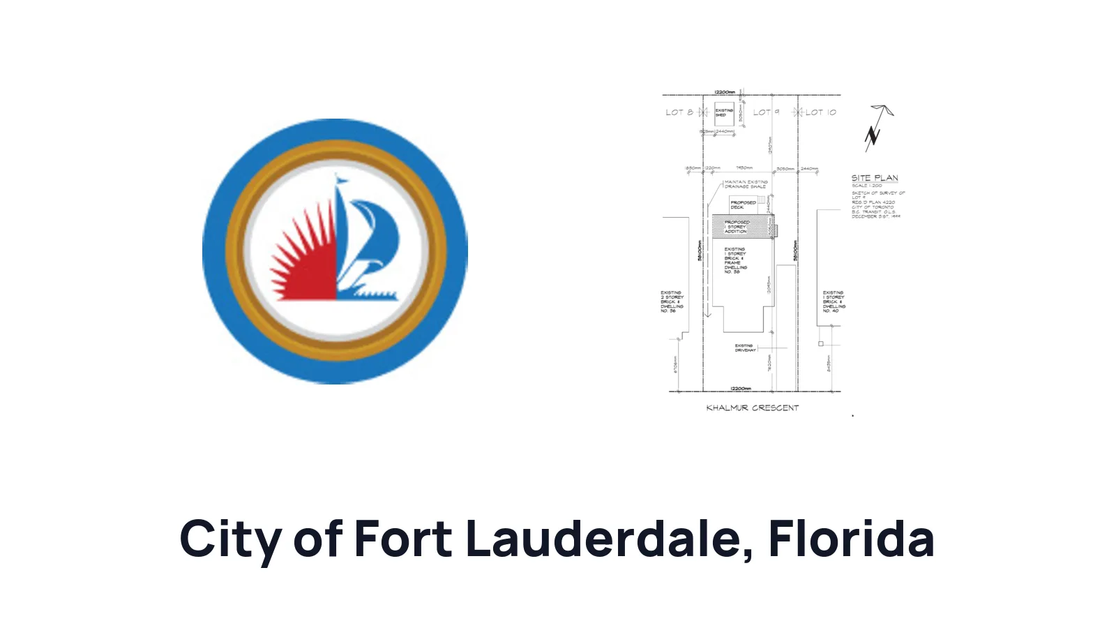
How to Draw a Site Plan for a Residential Building Permit in City of Fort Lauderdale

Ilya Tkachov
Updated
If you are applying for a residential building permit in City of Fort Lauderdale, the site plan should start with a current property survey. For City of Fort Lauderdale residential projects, the survey is not just background information: it is the base drawing you can mark up to show where the proposed work will go.
This guide explains how to draw a site plan for a residential building permit in City of Fort Lauderdale, what to add to the current survey, and how to avoid the common gaps that lead to permit review comments.
What is a site plan?
Site plan definition
A site plan is a top-down drawing of your property. In City of Fort Lauderdale, a homeowner residential site plan should be based on a current survey so the reviewer can see the property lines, existing conditions, and proposed work in the same drawing.
For a homeowner, the easiest way to think about it is this: a site plan for property shows what is already on the lot and what you want to add or change. A site plan for a residential building permit helps City of Fort Lauderdale review the proposed addition, deck, pool, fence, driveway change, shed, equipment location, or other exterior work against the survey, property boundaries, existing structures, easements, and setback measurements.
The drawing does not need extra decoration. It needs to keep the survey readable while adding clear proposed-work labels, dimensions, and distances.
Common site plan terminology
| Term | Plain-English meaning | Example |
|---|---|---|
| Current survey | A recent survey that reflects the property conditions City of Fort Lauderdale will review for the permit. Use it as the base drawing before adding proposed work. |  Example property survey to use as the base drawing Example property survey to use as the base drawing |
| Setbacks | The distances from the proposed work to property lines or other regulated features shown on the survey. |  Setback example Setback example |
| Existing buildings and structures | Things already on the property, such as the house, driveway, pool, patio, fence, shed, garage, equipment, or other improvements visible on the survey. |  Existing structures example Existing structures example |
| Proposed buildings and structures | New work you want approved, such as a proposed addition, deck, pool, fence, driveway change, shed, or equipment pad. |  Proposed structures example Proposed structures example |
| Dimensions | Measurements written directly on the drawing, including the proposed work size and distances from the proposed work to property lines. |  Site plan dimensions example Site plan dimensions example |
| Lot lines or property lines | The legal edges of your property shown on the survey. These are the lines reviewers use when checking setbacks. |  Property line example Property line example |
| Easement | A recorded area of the property that may limit where structures, fences, equipment, or other improvements can be placed. |  Easement example Easement example |
| Right-of-way | A legal area used for public access, travel, utilities, servicing, or maintenance. It can affect work near streets, alleys, sidewalks, or utility corridors. |  Right-of-way example Right-of-way example |
Do you need a site plan?
For City of Fort Lauderdale residential permits, plan on needing a current survey when the project has an exterior location on the property. The site plan is the marked-up version of that survey that shows exactly where the work will happen.
This matters for projects such as additions, decks, pools, fences, sheds, driveway changes, patios, equipment pads, and other work where the location affects setbacks, easements, drainage, utilities, or existing structures. Online maps and rough sketches can help you think through the project, but they should not replace the current survey for the permit drawing.
Create a site plan for free using HomeCat that gets your residential building permit approved in City of Fort Lauderdale. Get started
Site plan requirements for residential building permits in City of Fort Lauderdale
The most important City of Fort Lauderdale requirement is the current survey. Once you have it, use the survey as the base and add the proposed work clearly enough that the reviewer can understand the scope and location.
A useful City of Fort Lauderdale residential site plan usually shows:
- Current property survey
- Property lines
- Existing house and other existing structures
- Street, driveway, and access orientation
- Easements and rights-of-way shown on the survey
- Proposed work drawn over the survey
- Dimensions of the proposed work
- Setbacks from the proposed work to the nearest property lines
- Distances to easements, rights-of-way, nearby structures, utilities, or other site features when they affect the project
- Labels that distinguish existing conditions from proposed work
Use the permit checklist or review comments for your specific project first. If your project is structural, engineered, in a flood-sensitive location, or otherwise complex, City of Fort Lauderdale may need professional drawings or signed-and-sealed documents in addition to the survey markup.
Additions, decks, and exterior structures
For an addition, deck, shed, covered patio, or similar exterior structure, draw the proposed footprint on the survey and label it as proposed. Add the proposed dimensions and the distances to the closest side, rear, or front property lines.
If the work connects to the house, show that relationship clearly. If it is freestanding, make sure the reviewer can see how it sits in relation to the house, driveway, fence, pool, easements, and other nearby structures.
Pools, fences, driveways, and equipment locations
For a pool, fence, driveway change, equipment pad, or similar site feature, the survey markup should show both the proposed location and the surrounding context that affects the review. Label the proposed work, add dimensions, and show distances to property lines, easements, rights-of-way, and nearby existing improvements.
If the project changes access, drainage, hard surface area, pool equipment placement, or work near a utility or easement, keep those details visible on the survey copy instead of covering them with markup.
(With Survey) How to draw a site plan using a survey for City of Fort Lauderdale
Use this method for City of Fort Lauderdale residential permit drawings. The current survey gives you the legal property-line base; your job is to add the proposed work and the measurements the reviewer needs.
1. Print your survey, and get an extra blank piece of paper
Print the current survey at a readable size. If possible, keep the scale intact. Get a blank sheet of paper, tracing paper, or a transparent digital layer if you are working on a tablet.
Do not mark up your only original copy. Work on a copy so you can start over if needed.
Example property survey to use as the base drawing
 Blank paper, ruler, and pen for drawing over a survey
2. Place the paper over, and trace important details
Trace or preserve the important survey details that City of Fort Lauderdale needs to see:
- Property boundary
- Existing house footprint
- Street and driveway location
- North arrow if shown
- Existing structures near the work area
- Easements and rights-of-way
- Existing setback measurements shown on the survey
- Utilities, drainage features, pool equipment, or other site details that affect the project
Keep the tracing clean. You do not need to copy every survey note if it does not affect the project, but do not hide property lines, easement labels, or existing structures that matter to the permit review.
 Survey details traced by hand
3. Draw your proposed structures and add measurements and setbacks
Draw the proposed addition, deck, pool, fence, driveway change, shed, equipment pad, or other work on the survey copy. Label it as proposed and write the dimensions of the proposed work directly on the drawing.
Add the setback measurements from the proposed work to the closest property lines. If the proposed work is near an easement, right-of-way, driveway, pool, utility, or another structure, add those distances too.
If the survey has a scale, use it to place the proposed work accurately. If you are drawing the proposal by hand over the survey, make the written dimensions clear so the reviewer is not relying only on the sketch.
 Proposed structures drawn on traced survey
Create a site plan for free using HomeCat that gets your residential building permit approved in City of Fort Lauderdale. Get started
Site plan examples for permit for City of Fort Lauderdale
The best City of Fort Lauderdale site plan example is a current survey with proposed work marked clearly on top of it. Use the survey to keep the property-line information reliable, then add a simple proposed-work outline, labels, dimensions, and setbacks.
A permit-ready example should include:
- The current survey as the base
- A clear proposed-work outline
- Existing house and structures still visible
- Property lines and easements still readable
- Proposed work dimensions
- Setbacks to the closest property lines
- Notes for nearby easements, rights-of-way, utilities, driveway areas, pools, fences, or equipment when they affect the work
Your drawing does not need to look like a full architectural sheet for every homeowner project. It needs to be readable, measured, and tied to the current survey.
Common site plan mistakes that delay your residential building permit in City of Fort Lauderdale
Most City of Fort Lauderdale site plan delays come from drawings that do not give the reviewer enough survey-based context. The reviewer needs to see the property, what is already there, what is proposed, and the measurements that prove where the work sits on the lot.
Not starting from a current survey
For residential work in City of Fort Lauderdale, use a current survey as the base drawing. A map screenshot or rough sketch can help you plan privately, but it does not replace the survey-based site plan for permit review.
Covering important survey information
Do not draw over property lines, easement labels, existing structures, survey notes, or right-of-way information in a way that makes them hard to read. Use clear linework, arrows, labels, or a separate overlay so the proposed work stands out without hiding the base survey.
Missing setback measurements
Show distances from the proposed work to the closest property lines. If the work is near an easement, right-of-way, existing structure, driveway, pool, equipment area, or utility corridor, add the relevant distances there too.
Unclear proposed work labels
Label the work as proposed and name it directly, such as "proposed deck," "proposed pool," "proposed fence," "proposed driveway extension," or "proposed equipment pad." Add the size of the proposed work so the reviewer does not need to infer dimensions from the sketch.
Frequently asked questions about site plans
Can I draw over my City of Fort Lauderdale survey?
Yes. Use a copy of the current survey and draw the proposed work over it. Keep the property lines, existing structures, easements, and survey notes readable, then add the proposed-work labels, dimensions, and setbacks.
Can I use Google Maps for my City of Fort Lauderdale site plan?
Use Google Maps or aerial imagery only for private planning. For the permit drawing, start with a current property survey because City of Fort Lauderdale residential guidance calls for a current survey.
What is an owner-builder in Florida?
Under Florida's owner-builder exemption, a qualifying property owner can act as their own contractor for qualifying work, sign the permit application, supervise the work, and be responsible for the permit. The owner-builder still has to meet City of Fort Lauderdale permit requirements and provide the drawings or documents the permit review requires.
In Florida, can contractors and owner-builders prepare and submit their own drawings?
Often, yes, for straightforward residential work when the drawings are clear, code-compliant, and within the applicable exemptions. You may still need a Florida engineer, architect, surveyor, or other licensed professional when the project involves structural engineering, wind design beyond prescriptive rules, flood or coastal issues, drainage, retaining walls, unusual foundations, or a signed-and-sealed local requirement.
Do I need to be licensed to create my own plans?
Florida law does not automatically require an architect to draw plans for a single-family house, duplex, townhouse, or related domestic outbuilding when the work fits the statutory exemption. A homeowner, drafter, designer, or contractor can prepare those plans within the exemption, but the permit office can still require complete drawings and any professional documents needed for the specific project.
What if City of Fort Lauderdale rejects my site plan?
Read the review comments and revise the drawing to answer each item. Common fixes include adding the current survey, making the proposed work easier to identify, adding missing dimensions, showing setbacks to property lines, restoring covered survey information, or adding nearby easements, rights-of-way, utilities, or existing structures that affect the review.
Conclusion
A good beginner site plan does not need to be complicated. It needs to show the property, the existing conditions, the proposed work, and the measurements that matter for your residential building permit in City of Fort Lauderdale. Start with a current survey, mark the proposed work clearly, and keep the survey information readable so the reviewer can understand the project without guessing.
Create a site plan for free using HomeCat that gets your residential building permit approved in City of Fort Lauderdale. Get started