

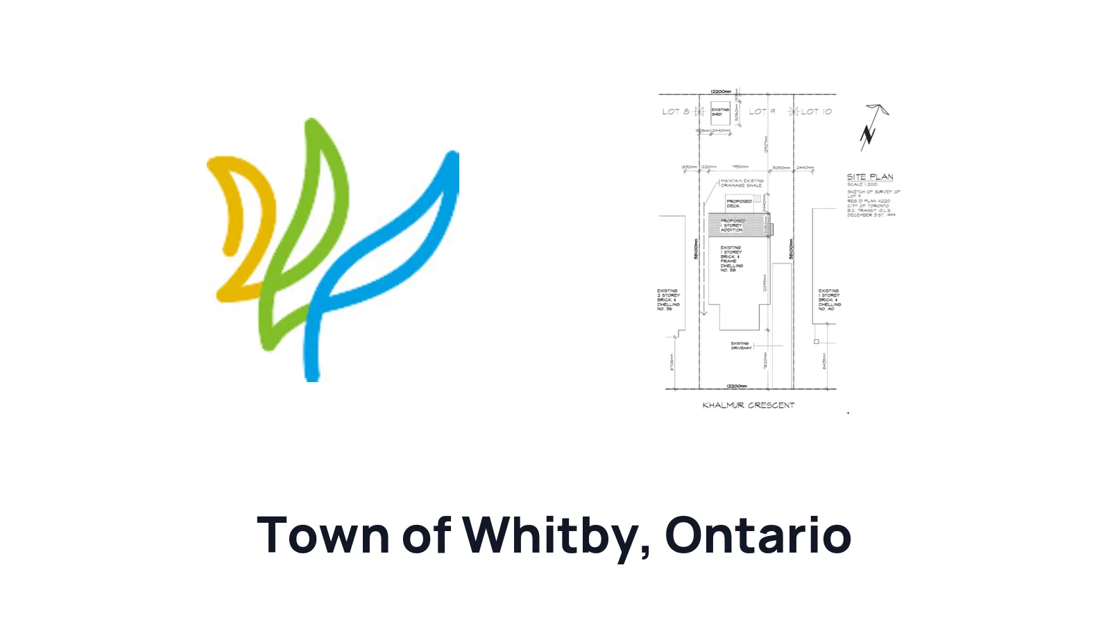
How to Draw a Site Plan for a Residential Building Permit in Town of Whitby

Ilya Tkachov
Updated
If you are preparing a residential building permit application in Town of Whitby, the site plan is the drawing that shows the Town where the work will sit on your property. Town of Whitby's residential permit documentation asks for site plans for projects such as detached additional dwelling units, accessory structures, detached garages, attached garages, carports, decks, ramps, and porches.
This guide explains how to draw a site plan for a residential building permit in Town of Whitby, what the drawing should show for common homeowner projects, and when it is better to start from a property survey instead of an approximate sketch.
What is a site plan?
Site plan definition
A site plan is a top-down drawing of your property. It shows the property lines, existing structures, proposed work, and the measurements that explain where the project will be located.
For a homeowner, a site plan for property answers a practical question: what is already on the lot, and where will the new work go? A site plan for a residential building permit helps Town of Whitby review whether a deck, ramp, porch, garage, carport, accessory structure, or detached additional dwelling unit has been placed clearly on the property and has enough setback information for permit review.
For many smaller residential projects, the site plan does not need to look like a full architectural drawing. It does need to be readable, labelled, and specific to your property.
Common site plan terminology
| Term | Plain-English meaning | Example |
|---|---|---|
| Property lines | The legal edges of your lot. Town of Whitby's site plan guidance asks applicants to clearly indicate all property lines. |  Property line example Property line example |
| Existing structures | Buildings and structures already on the property, such as the house, garage, shed, deck, porch, carport, driveway, or other built features. |  Existing structures example Existing structures example |
| Proposed work | The new structure or change you want approved, such as a proposed deck, ramp, porch, detached garage, attached garage, carport, accessory structure, or detached additional dwelling unit. |  Proposed structures example Proposed structures example |
| Setbacks | The distances from the proposed work to the property lines. Town of Whitby's permit documentation asks site plans to include setback dimensions. |  Setback example Setback example |
| Dimensions | Measurements written directly on the drawing, including the size of the proposed work and the setback distances. |  Site plan dimensions example Site plan dimensions example |
| Parking spaces | The parking spaces on the property. For a detached additional dwelling unit, Town of Whitby's site plan requirement includes the location and dimensions of parking spaces. | Site plan dimensions example |
Do you need a site plan?
You usually need a site plan when your Town of Whitby project changes the outside of the property or adds something with a specific location on the lot. Town of Whitby's residential documentation lists site plans for detached additional dwelling units, accessory structures, detached garages, attached garages, carports, decks, ramps, and porches.
For those projects, the site plan should make the lot layout easy to review. Show the property lines, the existing structures, the proposed work, and the setback dimensions. For a detached additional dwelling unit, also show the location and dimensions of parking spaces.
If your project is a pool enclosure or another exterior project, check the Town of Whitby permit guide for that project before submitting. The same site plan basics still help: show where the work is going, what is already nearby, and the measurements that matter.
Create a site plan for free using HomeCat that gets your residential building permit approved in Town of Whitby. Get started
Site plan requirements for residential building permits in Town of Whitby
Town of Whitby's listed residential site plan requirements are concise, so the safest approach is to make the drawing clear and measured. For the covered project types, include:
- All property lines
- Existing structures on the property
- The proposed deck, ramp, porch, garage, carport, accessory structure, or detached additional dwelling unit
- The dimensions of the proposed work
- Setback dimensions from the proposed work to the property lines
- Parking space locations and parking space dimensions for a detached additional dwelling unit
- Street name, driveway location, and north arrow when they help orient the drawing
- Any nearby existing structure that affects the project location
Use the Town of Whitby instructions for your permit type first. If the checklist only says that a site plan is required, make the site plan answer the basic review questions: where is the work, how large is it, what is already on the lot, and how far is the work from the property lines?
Decks, ramps, and porches
For a deck, ramp, or porch, show the existing house and the side of the house where the work will attach or sit. Draw the proposed deck, ramp, or porch, label it as proposed, and write the size of the work directly on the plan.
Add setback dimensions from the proposed work to the closest property lines. If the deck, ramp, or porch is near an existing driveway, garage, shed, fence, or other structure, show that nearby item so the reviewer can understand the project area.
Accessory structures, detached garages, attached garages, and carports
For an accessory structure, detached garage, attached garage, or carport, the site plan should clearly show all property lines, existing structures, and the proposed structure. Add the proposed structure dimensions and the setback dimensions to the property lines.
Detached structures need especially clear placement because the reviewer has to understand how the new building sits in the yard. Attached garages and carports should show the relationship to the existing house, driveway, and property lines.
Detached additional dwelling units
For a detached additional dwelling unit, Town of Whitby's documentation asks for a site plan that clearly indicates all property lines, existing structures, setback dimensions, and the location and dimensions of parking spaces.
Make the detached unit easy to find on the drawing, then show how it relates to the existing house, driveway, parking area, and property lines. Label each parking space and write its dimensions on the plan.
(Without Survey) How to draw a site plan using the Google Maps method for Town of Whitby
The Google Maps method can help you make a first draft when you do not have a property survey and the Town has not asked for a survey-based plan for your project. It works best for simple layout planning where you need to show the proposed location, existing structures, and setback measurements.
Google Maps does not show legal property lines. If your project is close to a property line, if the lot shape is uncertain, or if the setback measurement has to be exact, use a survey or another reliable property record before submitting.
1. Look up your address
Open Google Maps and search for your property address.
 Google Maps search bar
Switch to the satellite view so you can see the house, driveway, yard, fences, and nearby streets. Click Layers, then open the additional map options.
 Click Layers and More in Google Maps
Select Satellite as the map type.
 Select Satellite in Google Maps
Zoom in far enough that the house and the work area are clear, but leave enough space around the property to show the street and lot shape.
2. Take a screenshot
Take a screenshot of the map view.
- On Windows, use
Windows + Shift + S. - On macOS, use
Command + Shift + 4. - On iPhone/iPad/Android, use the device screenshot buttons.
Save the screenshot somewhere easy to find.
 Screenshot of property from Google Maps
3. Open the screenshot in paint
Open the screenshot in a simple drawing tool. Microsoft Paint, Preview on macOS, a tablet markup tool, or any basic image editor can work. You do not need professional drafting software for a first draft.
4. Trace the footprint of your house
Trace the outside shape of the house. Keep the line simple. You are trying to show Town of Whitby where the house sits on the property, not every roof detail.
Label the house with the property address or the words "existing house."
 House footprint traced on site plan
5. Trace your property boundary
Draw the approximate property boundary around the lot. If you can see fences, road edges, lot shape, or other clues, use them carefully as a guide. If the property is a simple rectangular lot, keep the boundary simple.
Label the lines as "approximate property line" unless you are working from a legal survey.
 Approximate property boundary traced on site plan
6. Trace and label existing structures
Trace the existing structures that matter to the project. Include the house and nearby features such as a garage, shed, deck, porch, carport, driveway, or other structure near the proposed work.
Label each item as existing. Town of Whitby's site plan instructions specifically call for existing structures, so do not leave them off the drawing.
 Existing structures added to site plan
7. Draw proposed structures
Draw the proposed work on top of the screenshot. Use a different colour, dashed line, or bold outline so it stands out from the existing structures.
Label the proposed work clearly, such as "proposed deck," "proposed ramp," "proposed porch," "proposed detached garage," "proposed carport," "proposed accessory structure," or "proposed detached ADU."
 Proposed structures added to site plan
8. Measure setbacks, proposed, and existing structures
Add the key measurements. Write the size of the proposed work, then measure from the proposed work to the property lines.
For a detached additional dwelling unit, add the parking space locations and dimensions. For a garage, carport, deck, ramp, porch, or accessory structure, focus on the proposed work dimensions and setback dimensions.
If your measurements are approximate, label them as approximate.
Canada-based metric example:
 Canada-based site plan measurements
(Without Survey) How to draw a site plan by hand for Town of Whitby
You can also draw a simple site plan by hand when the Town has not required a survey-based drawing for your project. Use a ruler, pencil, dark pen, and a full sheet of paper. Keep the plan clean enough that property lines, existing structures, proposed work, and setbacks are easy to read.
1. Draw the footprint of your house
Start by drawing the existing house. Draw it large enough that you have room to show the proposed work, property lines, and measurements around it.
Label it "existing house" and add the municipal address.
 House footprint drawn by hand
2. Draw your property boundary
Draw the property boundary around the house. Label each side as a property line.
If you do not know the property line locations, do not guess for a close-setback project. Use a survey, closing document, or other reliable property record so the setback dimensions are meaningful.
 Property boundary drawn by hand
3. Draw the main street along your property
Draw the street along the front of the property and write the street name. Add the driveway if it helps orient the project or if the project relates to an attached garage, carport, detached garage, detached additional dwelling unit, or parking spaces.
If the property is on a corner, show both streets.
 Main street drawn on hand site plan
4. Label the rear of your property
Label the rear yard or back of the property. This helps the reviewer understand front, side, and rear yard relationships for decks, ramps, porches, garages, carports, accessory structures, and detached additional dwelling units.
 Rear yard labeled on hand site plan
5. Draw existing and proposed structures
Add the existing structures on the property. Include the house and any garage, shed, deck, porch, carport, driveway, or nearby structure that affects the project area.
Draw the proposed work in a darker outline or different line style. Label it clearly. For a detached additional dwelling unit, also draw and label the required parking spaces.
 Existing and proposed structures drawn by hand
6. Measure setbacks, proposed, and existing structures
Write the proposed work dimensions directly on the drawing. Then add setback dimensions from the proposed work to the property lines.
For a detached additional dwelling unit, write the parking space dimensions beside each parking space. For a garage, carport, deck, ramp, porch, or accessory structure, make the proposed structure size and setbacks easy to find.
 Measurements added to hand-drawn site plan
Create a site plan for free using HomeCat that gets your residential building permit approved in Town of Whitby. Get started
(With Survey) How to draw a site plan using a survey for Town of Whitby
If you have a property survey, use it as the base for your Town of Whitby site plan. A survey is useful because it can show legal property lines, existing buildings, lot dimensions, and other property information more reliably than a map screenshot.
If you do not have a survey, start with your closing documents, then ask your real estate lawyer, closing agent, or mortgage company. You can also submit a Freedom of Information request to Town of Whitby. Before paying for a new survey, read our guide for getting a property survey in Ontario.
1. Print your survey, and get an extra blank piece of paper
Print the survey at a readable size. If possible, keep the scale intact. Get a blank sheet of paper, tracing paper, or a transparent digital layer if you are working on a tablet.
Do not mark up your only original copy. Work on a copy so you can start over if needed.
 Example property survey to use as the base drawing
 Blank paper, ruler, and pen for drawing over a survey
2. Place the paper over, and trace important details
Trace the property boundary, existing house, driveway, street, north arrow, and existing structures near the proposed work. Keep the tracing simple, but make sure all property lines remain clear.
For a detached additional dwelling unit, also keep enough driveway and yard context to show the parking space locations. For garages, carports, decks, ramps, porches, and accessory structures, keep the existing structures and property lines that affect setbacks.
 Survey details traced by hand
3. Draw your proposed structures and add measurements and setbacks
Draw the proposed work on the survey copy or traced plan. Label it as proposed and write the dimensions.
Add setback dimensions from the proposed work to the property lines. If the survey already has building-to-lot-line measurements, use those measurements to help calculate the new setback after your proposed work is added.
For example, if the rear wall of the house is 10 metres from the rear property line and you are adding a 3 metre deep deck, the remaining rear setback from the deck to the rear property line is about 7 metres. Write that setback directly on the site plan.
If the survey has a scale, use it to place the proposed work more accurately. If the drawing is not perfectly to scale, make the written dimensions and setbacks clear.
 Proposed structures drawn on traced survey
Site plan examples for permit for Town of Whitby
A strong Town of Whitby site plan example is simple and measured. It clearly shows all property lines, existing structures, the proposed work, and setback dimensions.
For a deck, ramp, or porch, the example should show the existing house, the proposed work, its dimensions, and its distance to the nearest property lines. For a detached garage, attached garage, carport, or accessory structure, it should show the proposed structure in relation to the lot, driveway, existing house, and any nearby structures. For a detached additional dwelling unit, it should also show parking space locations and parking space dimensions.
Use examples to copy the level of detail, not the measurements. Your site plan needs to match your own lot, project size, and proposed location.
Common site plan mistakes that delay your residential building permit in Town of Whitby
Most site plan delays come from leaving out the information the reviewer needs to locate the work on the property. Before submitting, check that the drawing answers the basic Town of Whitby site plan requirements.
Missing property lines
Town of Whitby's site plan instructions ask applicants to clearly indicate all property lines. Do not show only the proposed work area. Draw the full lot outline so the setbacks make sense.
Missing existing structures
Show the existing house and other existing structures that affect the project, such as garages, sheds, decks, porches, carports, and driveways. A proposed structure without the existing context is harder to review.
Missing setback dimensions
Write the setback dimensions from the proposed work to the property lines. If the project is close to a lot line, use a survey or another reliable source so the measurement is not just a guess.
Leaving out parking spaces for a detached additional dwelling unit
For a detached additional dwelling unit, Town of Whitby's site plan requirement includes the location and dimensions of parking spaces. Draw the spaces, label them, and write their dimensions on the plan.
Not labelling the proposed work
Label the proposed item clearly. The reviewer should not have to guess whether a rectangle is a deck, ramp, porch, garage, carport, accessory structure, or detached additional dwelling unit.
Frequently asked questions about site plans
Can homeowners prepare and submit their own drawings in Town of Whitby?
Yes. In Ontario, homeowners can generally prepare drawings for a house they own because the Ontario Building Code exempts design work for "a house owned by the person" from the usual designer qualification requirements under Division C, Article 3.2.5.1.(3)(b)(i). Town of Whitby can still require drawings that are complete, dimensioned, and clear enough for permit review.
What if Town of Whitby asks me to fill out Schedule 1: Designer Information?
For the design activities section, select House and describe the project, such as "deck," "porch," "garage," "carport," or "accessory structure."
Under the designer declaration, choose The design work is exempt from the registration and qualification requirements of the Building Code. For the basis of exemption, enter Homeowner.
Where can I get a legal property survey in Town of Whitby?
Start with your closing documents, then ask your real estate lawyer, closing agent, or mortgage company. If you still cannot find a survey, submit a Freedom of Information request to Town of Whitby.
Read our Ontario ultimate guide for getting a property survey before paying for a new survey.
Does my survey need to be recent?
An older survey prepared by a licensed Ontario Land Surveyor can still be useful if it shows the property lines and existing conditions accurately enough for your project. Update the site plan so it reflects current structures, driveways, parking spaces, and the proposed work. If the lot or building layout has changed a lot, confirm with Town of Whitby before relying on the old survey.
Can I use Google Maps for my Town of Whitby site plan?
Use Google Maps only as a starting point when the Town has not required a survey-based drawing and the project is not close to a property line. Google Maps does not show legal property lines, so it is not a reliable source for exact setbacks.
What if Town of Whitby rejects my site plan?
Read the review comments and revise the drawing to answer each item directly. Common fixes include adding missing property lines, existing structures, setback dimensions, proposed work dimensions, or parking space dimensions for a detached additional dwelling unit.
How can I verify the site plan is correct?
Compare your drawing against the Town of Whitby permit instructions for your project type. Make sure the site plan clearly indicates all property lines, existing structures, proposed work, and setback dimensions. For a detached additional dwelling unit, also confirm that parking space locations and dimensions are shown.
You can also contact Town of Whitby before submitting and ask whether your drawing includes enough information for review.
When do I need a survey or professional drawing?
Use a survey when the proposed work is close to a property line, when the lot shape is unclear, when you need reliable setback dimensions, or when Town of Whitby asks for one. You may need a professional drawing when the project is complex, structural, engineered, or outside the usual homeowner-prepared drawing scope.
Conclusion
A good beginner site plan for Town of Whitby does not need to be complicated. It needs to show the property lines, existing structures, proposed work, and the setback dimensions that matter for your residential building permit. For detached additional dwelling units, add the parking space locations and dimensions so the site plan answers the local checklist clearly.
Create a site plan for free using HomeCat that gets your residential building permit approved in Town of Whitby. Get started