
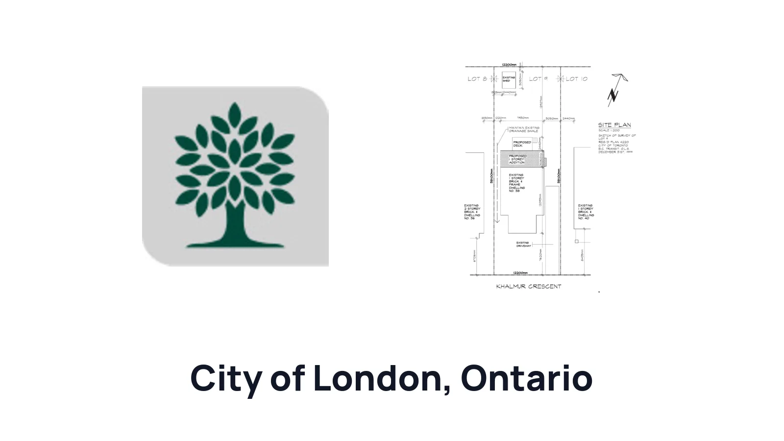
How to Draw a Site Plan for a Building Permit in London

Ilya Tkachov
Updated
If you are applying for a residential building permit in City of London, the site plan is the drawing that shows where the work sits on your property. For projects such as additions, additional residential units, porches, decks, detached garages, gazebos, and sheds, City of London expects the drawing to explain the lot, the proposed footprint, the property lines, and the zoning measurements that matter for review.
This guide explains how to draw a site plan for a residential building permit in City of London, what to include for common homeowner projects, and how to make a first draft using City of London's own GIS map.
New to site plans?
If this is your first one, read what a site plan is and why you need one in Ontario first. It covers how a site plan differs from a survey, a floor plan and an elevation, what setbacks and easements actually mean, and why municipalities ask for the drawing at all. Then come back here for what City of London expects on top of that.
City of London reviews the proposed footprint against the lot itself, so the drawing has to carry the zoning arithmetic as well as the picture: lot area, zoning details, and lot coverage percentage alongside the setbacks.
Do you need a site plan?
You usually need a site plan for City of London residential permit projects that change the outside of the property or add a structure with a footprint on the lot. City of London identifies site plans for large projects, additions, additional residential units, and small residential structures such as porches, decks, detached garages, gazebos, and sheds.
If your project is indoors only, a site plan may not be the main drawing. If the permit involves an exterior footprint, setback, lot coverage calculation, or zoning review, prepare the site plan early so the rest of the permit package uses the same project location and dimensions.
Create a site plan for free using HomeCat that gets your building permit approved in City of London. Get started
Site plan requirements for residential building permits in City of London
A useful City of London site plan should show:
- Lot area
- Proposed building footprint
- Existing structures, if any
- Property lines
- Setbacks from property lines
- Zoning details
- Lot coverage percentage
- The project type, such as an addition, additional residential unit, porch, deck, detached garage, gazebo, or shed
City of London allows approximate property lines based on City of London's GIS for this type of draft. The City map is often the better starting point than a plain Google Maps screenshot because it can show the property lines directly over an aerial basemap. If you use Google Maps as the drawing base, label property lines as approximate and use City of London's GIS or another reliable property-line reference to place the lot boundary as carefully as you can.
Additions and additional residential units
For an addition or additional residential unit, show the existing house, the proposed building footprint, the full lot, property lines, setbacks, lot area, zoning details, and lot coverage percentage. The drawing should make it easy to compare the proposed expansion with the current building and the available space on the lot.
Porches and decks
For a porch or deck, show the existing house wall, the proposed porch or deck footprint, stairs if they affect the footprint, nearby existing structures, property lines, dimensions, and setbacks. Add lot coverage details when the project changes coverage.
Detached garages, gazebos, and sheds
For a detached garage, gazebo, shed, or similar small residential structure, show the proposed structure in relation to the existing house, driveway, other structures, and property lines. Label the footprint, write the dimensions, and include setbacks and lot coverage so City of London can review the proposed location.
How to draw your City of London site plan
The quickest route is to create a site plan with HomeCat — walk your property with your phone and get a permit-ready drawing back, free.
If you would rather draw it yourself, our DIY guide to drawing a site plan in Ontario covers all three methods step by step: from a survey, from a Google Maps screenshot, or by hand.
City of London is unusual in that it does not require a survey for this kind of draft — it accepts approximate property lines taken from the City's own GIS map. That makes City of London's GIS the better starting point than a plain Google Maps screenshot, because it draws the lot boundary over the aerial image for you instead of leaving you to guess it. The step-by-step walkthrough is further down this page.
If you do have a survey, use it anyway — it gives you legal property lines instead of approximate ones. Check your closing documents or ask your real estate lawyer, closing agent, or mortgage company first; our guide to getting a property survey in Ontario covers the cheaper options before paying for a new one.
Whatever base you draw on, write the lot area, zoning details, and lot coverage percentage on the drawing along with the setbacks. If a property line or measurement is approximate, label it as approximate rather than letting an aerial screenshot imply a boundary you have not verified.
(Without Survey) How to draw a site plan using City of London's GIS
City of London's online map can show an aerial image with property lines over it. Use this method when you want a screenshot base that already includes the approximate lot boundary.
1. Open the City of London GIS map
Open the City of London GIS map. Let the map load before searching so the map tools and address search are available.
2. Enable the Ortho Basemap
Open the basemap gallery and choose Ortho Basemap. Use the newest available ortho basemap, such as Ortho Basemap - 2025, so the screenshot shows the property, house, driveway, yard, and nearby structures clearly.
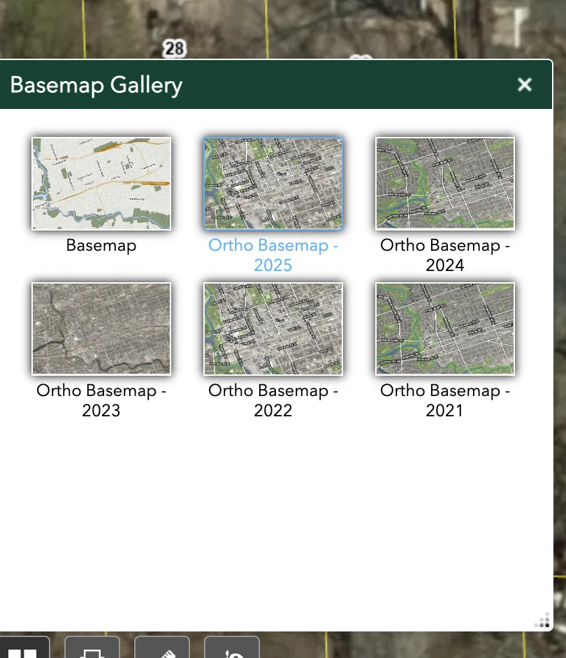 City of London GIS basemap gallery with Ortho Basemap selected
3. Search your address
Use the search box at the top of the map and enter your property address. Select the matching address or place result so the map zooms to the property.
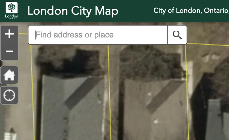 City of London GIS address search box
4. Find your property
Zoom and pan until your property is centered. The City map should show yellow property boundary lines over the aerial image. Make sure the full lot, street edge, house, driveway, and proposed work area are visible.
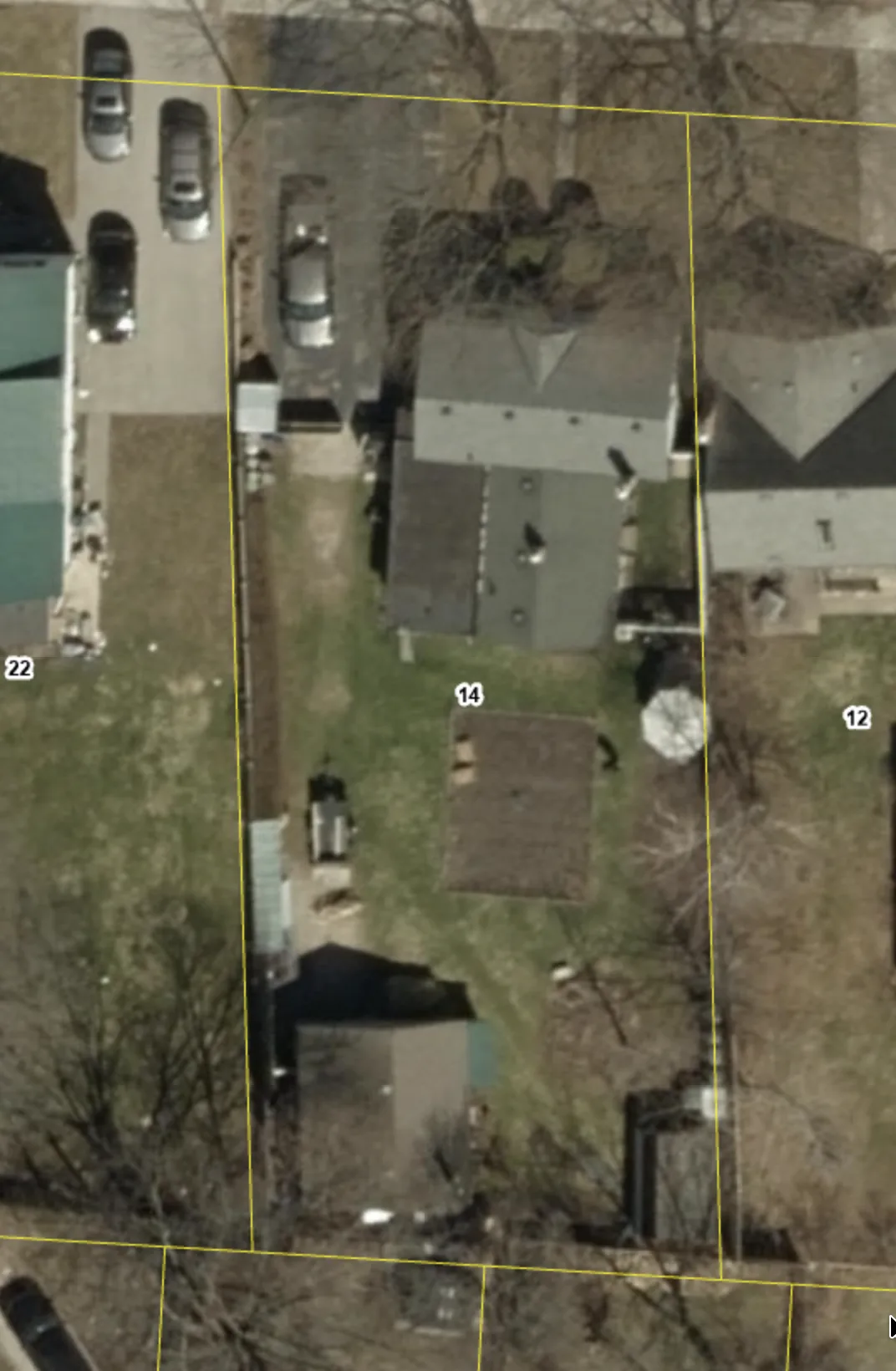 City of London GIS property view with yellow property boundary lines
5. Take a screenshot
Take a screenshot of the map view with the property lines visible.
- On Windows, use
Windows + Shift + S. - On macOS, use
Command + Shift + 4. - On iPhone/iPad/Android, use the device screenshot buttons.
Save the screenshot somewhere easy to find.
6. Mark up the screenshot
Open the screenshot in a simple drawing tool and mark it up the same way the screenshot method in our DIY guide does: trace the house, confirm the approximate property boundary, label existing structures, draw the proposed work, and add dimensions, setbacks, lot area, zoning details, and lot coverage percentage.
Create a site plan for free using HomeCat that gets your building permit approved in City of London. Get started
Site plan examples for permit for City of London
A strong City of London site plan example should show the full lot, the existing structures, the proposed footprint, property lines, setbacks, lot area, zoning details, and lot coverage percentage.
For a City of London GIS draft, keep the yellow property lines visible and make your labels and proposed work stand out from the aerial background. For a Google Maps draft, keep the screenshot simple and make the drawing information more prominent than the satellite background. The reviewer should not have to zoom in or guess which line is the proposed deck, shed, garage, gazebo, porch, addition, or additional residential unit.
Common site plan mistakes that delay your building permit in City of London
Most City of London site plan delays come from missing property context or missing zoning measurements. The reviewer needs to see how the proposed footprint fits on the lot.
Missing lot area or lot coverage
Do not only draw the proposed structure. Include the lot area and lot coverage percentage when they apply so the zoning review can be completed from the same drawing.
Unclear property lines
If the property lines come from Google Maps, City of London's GIS, or visual lot clues, label them as approximate. Do not let an aerial screenshot imply a legal boundary that you have not verified.
Missing setbacks
Show the distance from the proposed work to the nearest property lines. For additions, decks, porches, detached garages, gazebos, and sheds, setback measurements are often the fastest way to show whether the proposed location fits.
Existing structures left off the drawing
Show the existing house and any nearby deck, porch, garage, shed, driveway, gazebo, or other structure that helps explain the project area. The proposed footprint should not appear by itself on an otherwise empty lot.
Frequently asked questions about site plans
Can homeowners prepare and submit their own drawings in City of London?
Yes. In Ontario, homeowners can generally prepare drawings for a house they own because the Ontario Building Code exempts design work for "a house owned by the person" from the usual designer qualification requirements under Division C, Article 3.2.5.1.(3)(b)(i). City of London can still require drawings that are clear, dimensioned, and complete enough for permit review.
What if City of London asks me to fill out Schedule 1: Designer Information?
For the design activities section, select House and describe the project, such as "deck," "porch," "addition," "detached garage," "gazebo," "shed," or "additional residential unit."
Under the designer declaration, choose The design work is exempt from the registration and qualification requirements of the Building Code. For the basis of exemption, write Homeowner.
Can I use Google Maps for my City of London site plan?
Yes, Google Maps can be used as a practical base for a first draft when City of London has not asked for a survey-based drawing. Because Google Maps does not show legal property lines, label property lines as approximate and use City of London's GIS or another reliable reference to place the lot boundary carefully.
Is City of London's GIS better than Google Maps for this site plan?
Usually, yes. City of London's GIS can show the aerial image and approximate property boundary lines together, which makes it easier to place the lot lines before drawing the proposed work. Google Maps is still useful as a backup screenshot base, but it does not show property lines by itself.
What if City of London rejects my site plan?
Read the review comments and revise the drawing item by item. Common fixes include adding the lot area, proposed footprint dimensions, existing structures, property lines, setbacks, zoning details, lot coverage percentage, or a clearer property-line source.
Conclusion
A good beginner site plan does not need to be complicated. It needs to show the property, the existing conditions, the proposed work, and the measurements that matter for your building permit in City of London.
Create a site plan for free using HomeCat that gets your building permit approved in City of London. Get started