
How to Draw a Site Plan for a Building Permit in Windsor

Ilya Tkachov
Updated
If you are applying for a residential building permit in City of Windsor, the site plan should be built from reliable property information, not a guess at the lot lines. City of Windsor's residential permit checklist asks for survey property lines, property dimensions, compass orientation, adjacent roads, easements, and the location of existing and proposed buildings or structures.
This guide explains how to draw a site plan for a building permit in City of Windsor, what to include for common residential projects, and how to use a survey as the base for a cleaner permit drawing.
New to site plans?
If this is your first one, read what a site plan is and why you need one in Ontario first. It covers how a site plan differs from a survey, a floor plan and an elevation, what setbacks and easements actually mean, and why municipalities ask for the drawing at all. Then come back here for what City of Windsor expects on top of that.
City of Windsor asks the site plan to show survey property lines, and uses the drawing to review additions, accessory buildings, decks, porches, pools, alterations, basement renovations, parking, vehicle access, and fire access where those apply.
Do you need a site plan?
City of Windsor's residential permit materials list a site plan for residential permits, including alterations, additions, accessory buildings, basement renovations, repairs, decks, porches, replacement porches, and pools.
The site plan matters most when the project changes the outside of the property or affects access, parking, lot coverage, fire access, easements, or the distance to property lines. For an interior-only project such as a basement renovation, confirm the current submission requirements with City of Windsor if the online permit instructions are unclear, but be prepared to provide a site plan when the permit package asks for one.
Create a site plan for free using HomeCat that gets your building permit approved in City of Windsor. Get started
Site plan requirements for building permits in City of Windsor
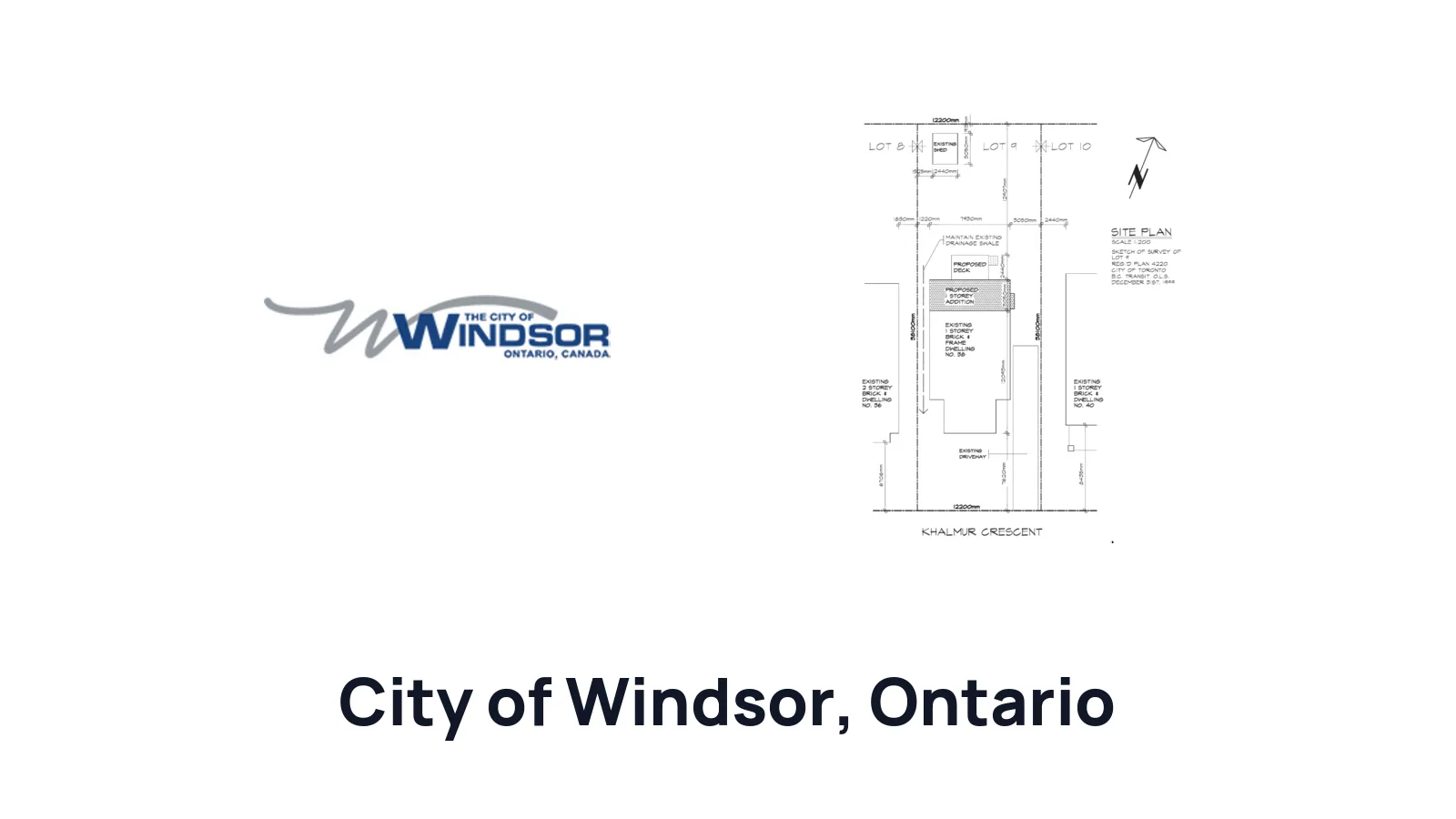
A City of Windsor site plan should include the property information and project details the reviewer needs to locate the work. For residential permits, prepare the drawing to show:
- Legal description
- Survey property lines
- Property dimensions
- Compass orientation
- Location and name of adjacent roads
- Easements
- Key plan
- Outline of all existing buildings and structures
- Outline of all proposed buildings and structures
- Building dimensions
- Distances from buildings and structures to property lines
- Parking and vehicle access dimensions and locations, when relevant
- Fire routes, hydrants, and fire department connection locations, when relevant
- Barrier-free parking, barrier-free curbs, ramps, path of travel, building access, loading spaces, bicycle spaces, and refuse areas, when relevant to the project
Additions, decks, porches, and replacement porches
For exterior work attached to the house, show the existing house, the proposed addition, deck, porch, or replacement porch, and the closest property lines. Add the dimensions of the proposed work and the distances from the proposed work to the side, rear, and front property lines as applicable.
If the work affects stairs, landings, driveway access, parking, ramps, or the path to the building entrance, show those items on the same site plan so City of Windsor can review the full site impact.
Accessory buildings and pools
For an accessory building or pool, show the surveyed property lines, house, existing structures, proposed structure or pool, easements, adjacent roads, and all relevant dimensions. Write the proposed building or pool size directly on the drawing and add setbacks to nearby property lines and nearby structures.
If the pool or accessory building affects parking, vehicle access, fire routes, hydrants, drainage features shown on the survey, or an easement, label those items clearly.
Alterations, repairs, and basement renovations
For work that does not obviously change the outside of the property, the site plan can be simpler. It should still identify the property, adjacent road, house, and work area if City of Windsor asks for a site plan as part of the permit package. If the alteration or repair changes an entrance, parking area, ramp, loading area, exterior wall, addition, porch, deck, or other site feature, include the same dimensions and property-line context you would include for exterior work.
How to draw your City of Windsor site plan
The quickest route is to create a site plan with HomeCat — walk your property with your phone and get a permit-ready drawing back, free.
If you would rather draw it yourself, our DIY guide to drawing a site plan in Ontario covers all three methods step by step. For City of Windsor, go straight to the survey-based method — the City asks for surveyed property lines, so an aerial screenshot will not satisfy the package.
If you do not have a survey, check your closing documents first. You can also ask your lawyer, closing agent, or mortgage company. If needed, City of Windsor directs homeowners to submit a request through the City of Windsor's Freedom of Information process. Our guide to getting a property survey in Ontario covers the cheaper options first.
Beyond the standard drawing, City of Windsor wants the adjacent road name, a north arrow or compass orientation, property dimensions, and a key plan if your package needs one. For projects affecting the driveway, parking, access route, ramp, fire route, hydrant, loading area, bicycle parking, refuse area, or barrier-free path of travel, show the dimensions and location of those items too.
Create a site plan for free using HomeCat that gets your building permit approved in City of Windsor. Get started
Common site plan mistakes that delay your building permit in City of Windsor
Using approximate property lines
City of Windsor asks for survey property lines. Aerial photos, online maps, and fence lines can be useful for planning, but they are not a substitute for surveyed property lines when you prepare the permit site plan.
Missing orientation or adjacent roads
Add a compass orientation and the name and location of adjacent roads. This helps the reviewer understand which side is the front yard and how the work relates to the street.
Missing building dimensions and setbacks
Show the dimensions of existing and proposed buildings or structures and write the distances to property lines. The reviewer should not have to calculate the proposed location from an unlabeled sketch.
Leaving out easements, parking, access, or fire details
If an easement, parking area, vehicle access route, fire route, hydrant, fire department connection, ramp, building access route, loading space, bicycle space, or refuse area applies to the project, show it on the site plan. These details can affect whether the proposed work fits on the site.
Frequently asked questions about site plans
Can homeowners prepare and submit their own drawings in City of Windsor?
Yes. In Ontario, homeowners can generally prepare drawings for a house they own. The drawings still need to be clear enough for permit review, and City of Windsor can require more detail or a qualified professional when the project is complex, engineered, or outside the usual homeowner design exemption.
What if City of Windsor asks me to fill out a Schedule 1: Designer Information form?
For homeowner-prepared drawings in Ontario, the Schedule 1 form usually identifies the design activity as House. In the project description, describe the work, such as deck, porch, pool, addition, or accessory building.
Under the designer declaration, choose the option stating that the design work is exempt from the registration and qualification requirements of the Building Code. For the basis of exemption, enter Homeowner.
Where can I get a legal property survey in City of Windsor?
Start with the documents from when you bought the property. If you cannot find a survey there, ask your lawyer, closing agent, title insurer, or mortgage company. City of Windsor also points homeowners to the City of Windsor Freedom of Information process for requesting property survey records through MFIPPA.
Read our Ontario ultimate guide for getting a property survey before paying for a new survey.
Does my survey need to be recent?
For many residential permit drawings in Ontario, an older survey prepared by a licensed Ontario Land Surveyor can still be useful if it accurately shows the property lines and existing conditions used for the site plan. If the property has changed since the survey, update the site plan to show current buildings, structures, parking, access, and proposed work.
What if City of Windsor rejects my site plan?
Use the review comments as a checklist. Add the missing survey property lines, property dimensions, compass orientation, adjacent road name, easement, key plan, building dimensions, setbacks, parking, vehicle access, fire access, barrier-free route, or other item City of Windsor requested.
When you resubmit, make the revisions easy to find and keep the site plan consistent with the permit application and the rest of your drawings.
Conclusion
A good beginner site plan does not need to be complicated. It needs to show the surveyed property, the existing conditions, the proposed work, and the measurements that matter for your building permit in City of Windsor.
Create a site plan for free using HomeCat that gets your building permit approved in City of Windsor. Get started