
Property surveys, site plans, and the documents you need

Start with the strongest property information available. This guide explains what a legal survey does, how to find one, and how HomeCat turns that information into a coordinated site plan for the project.

  • Survey document checklist
  • Survey-versus-site-plan guide
  • Existing survey search steps
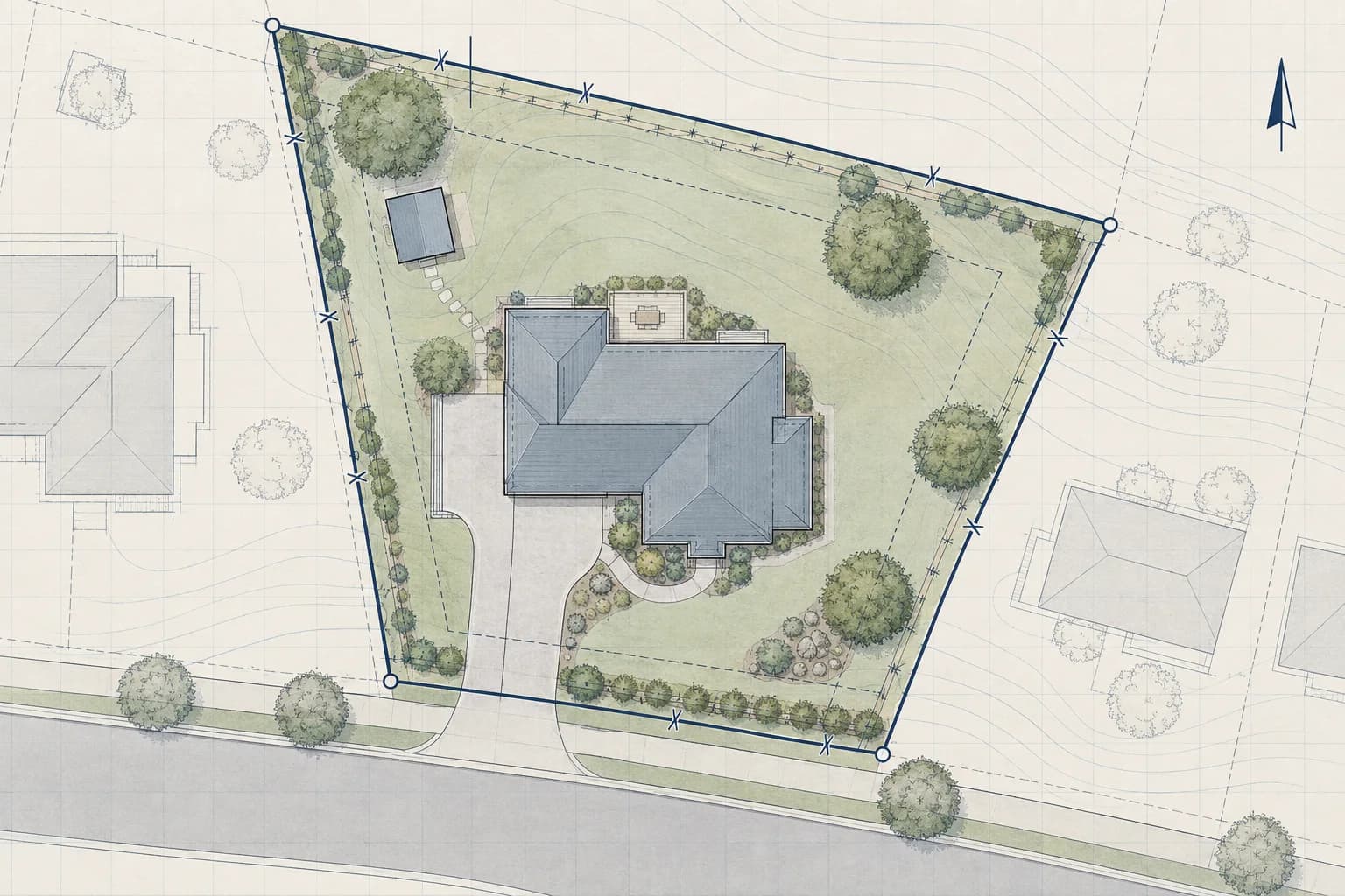
Property Surveys drawing example

A practical approach to property surveys

A useful drawing package brings legal boundary documents, existing survey searches, Ontario plan records, and the handoff from survey information to a project site plan into one coordinated view. That makes the project easier to understand, review, price, and build.

Begin with closing documents, registered plans, municipal records, prior permit files, visible site conditions, and licensed-surveyor information. HomeCat checks the property's zoning automatically and uses the applicable requirements to guide the plan. From there, the drawings can be shaped around the actual property and the decisions that matter to the project, with permit or professional-review items clearly flagged when they need attention.

How it works

  1. 01

    Add your property surveys project

    Sign in, choose the property, and enter the size and key requirements.

  2. 02

    Coordinate the plan

    HomeCat checks zoning and develops the layout, site fit, and drawing package.

  3. 03

    Save and export

    Save the project and export measured drawings, quantities, and cost inputs.

Project measurements and costs

HomeCat keeps the project dimensions connected to material quantities and cost inputs as the plan changes.

Primary measurements
Boundary geometry
Additional dimensions
Building offsets
Units
Metric + imperial

Measured project details

  • Boundary geometry

    HomeCat transfers lot-line lengths, bearings, corner locations, and parcel area from the available property records.

  • Building offsets

    HomeCat captures existing structure footprints and their perpendicular distances to the relevant property lines.

  • Recorded site features

    HomeCat maps easement widths, rights-of-way, fences, driveways, utilities, and other located features shown in the source documents.

Material and cost inputs

  • Document input scope

    HomeCat inventories the registered plans, closing documents, municipal records, photographs, and field notes included in the drawing workflow.

  • Field capture extent

    HomeCat identifies the boundary, improvement, and site-feature data already documented and organizes the remaining site observations by location.

  • Site plan quantities

    HomeCat calculates parcel area, structure coverage, setback lengths, driveway area, fence length, and mapped feature counts for project pricing.

What homeowners usually ask

Does HomeCat check my property's zoning requirements?

Yes. HomeCat automatically checks the property's zoning requirements and uses them to guide the project. It also flags permit or professional-review items that still need attention.

What should property surveys include?

A typical package includes Survey document checklist, Survey-versus-site-plan guide, Existing survey search steps, HomeCat drawing handoff. HomeCat tailors the sheets and level of detail to the project, property, applicable permit requirements, and professional scope.

What should I gather before I start?

Prepare closing documents, registered plans, municipal records, prior permit files, visible site conditions, and licensed-surveyor information. Better source information reduces assumptions and makes review comments easier to resolve.

Can these drawings support a permit or contractor quote?

Yes. HomeCat builds one coordinated package for permit applications, contractor pricing, and construction coordination, including the project-specific documents and licensed professional input.

Can HomeCat provide stamped architectural or engineering drawings?

Yes. HomeCat provides architectural and engineering drawings with licensed professional review and stamping. The review and stamp are coordinated as part of the final drawing package.